Agisoft Photoscan Standard Edition & QGIS for Generating Orthomosaics from UAV Aerial Photography
Several of you asked if it's possible to generate orthomosaics using Agisoft Photoscan Standard Edition. This video shows how to do it with a little bit of work. Be sure to watch the in-depth howto if any of the tools (QGIS, GDAL, Georeferencer) seem unfamiliar:
All photos in this video were taken with my Canon SX260, this guy:
Here is the imagery from the video:
and here is the web map that shows both the Pix4D and Photoscan layers as I discuss in the video:
/
Please post any comment or questions below and I hope you find this useful.
All photos in this video were taken with my Canon SX260, this guy:
Here is the imagery from the video:
and here is the web map that shows both the Pix4D and Photoscan layers as I discuss in the video:
/
Please post any comment or questions below and I hope you find this useful.
Rcreviews.lt is not the owner of this text/video/image/photo content, the real source of content is Youtube.com and user declared in this page publication as Youtube.com user,
if you have any question about video removal, what was shared by open community, please contact Youtube.com directly or report bad/not working video links directly to video owner on Youtube.com. Removed video from Youtube.com will also be removed from here.
Watch more videos
-
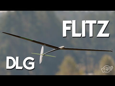 DLG - FLITZ - soaring joy!
The joy of DLG soaring! Pilot and Wing owner - Andrius Narbutas Bright LED: / - More products ... -
 Auto moto parkas 2021-11-28 SandBOX
Auto moto parkas 2021-11-28 SandBOX Daugiau informacijos: / #sandbox #amp #moto --------------... -
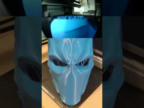 Deathstroke 3d printed wearable mask #shorts
Deathstroke 3d printed wearable mask with X1C BambuLab #shorts #3dprinting #deathstroke #bamb...


Advertising