How to Get Speed and Altitude for a Drone with No Telemetry
In this episode, the Roswell Flight Test Crew tests the “Big 5” GPS tracker, now available from Hobbico. Powered by an internal battery, the unit can be attached to a drone or other model aircraft and record GPS-based performance data at intervals as short as one second. This includes speed, altitude and location, and can be downloaded onto a computer via an included USB cable and plotted on a map or satellite image to show its movement. To test the accuracy and effectiveness of the Big 5, the crew tests two of the units against each other as well as comparing its results with a radar gun.
Rcreviews.lt is not the owner of this text/video/image/photo content, the real source of content is Youtube.com and user declared in this page publication as Youtube.com user,
if you have any question about video removal, what was shared by open community, please contact Youtube.com directly or report bad/not working video links directly to video owner on Youtube.com. Removed video from Youtube.com will also be removed from here.
Watch more videos
-
 Enduro Rally 2021 - Pabradė military base
Had a wonderful opportunity to be in a very dirty place on a badly rainy morning but with great a... -
 DeathStroke BambuLab X1C #Shorts
#shorts DeathStoke wearable mask made with BambuLab X1C #3dprinting -
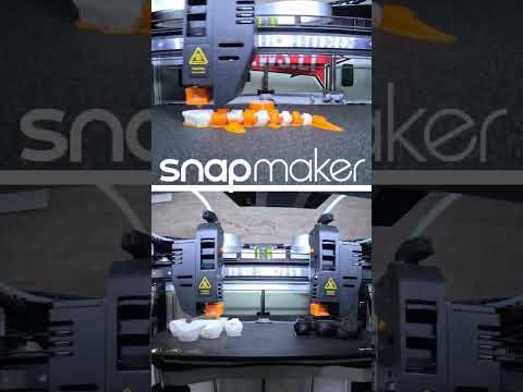 SnapMaker J1 IDEX 3d printer - double extruder workflow sample dual head print
#shorts Enjoy double extruder workflow satisfaction Music by: Gibran Alcocer - Idea 1 - piano c...


Advertising