Map Shows The Chaos That Ensues When You Fly A Drone Too Close To An Airport
A new data visualisation has shown the scale of the disruption caused when a drone gets too close to a major airport. Footage generated from flight path data shows planes struggling to land at Gatwick on July 2 this year, when air traffic controllers stopped all take-offs and landings because of a drone sighting.
Business Insider tells you all you need to know about business, finance, tech, science, retail, and more.
Subscribe to our channel and visit us at: /
BI on Facebook: ...
BI on Instagram: ...
BI on Twitter:
Business Insider tells you all you need to know about business, finance, tech, science, retail, and more.
Subscribe to our channel and visit us at: /
BI on Facebook: ...
BI on Instagram: ...
BI on Twitter:
Rcreviews.lt is not the owner of this text/video/image/photo content, the real source of content is Youtube.com and user declared in this page publication as Youtube.com user,
if you have any question about video removal, what was shared by open community, please contact Youtube.com directly or report bad/not working video links directly to video owner on Youtube.com. Removed video from Youtube.com will also be removed from here.
Watch more videos
-
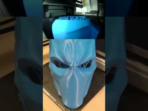 Deathstroke 3d printed wearable mask #shorts
Deathstroke 3d printed wearable mask with X1C BambuLab #shorts #3dprinting #deathstroke #bamb... -
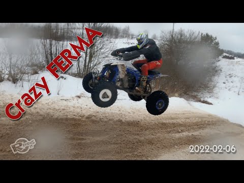 Dirt bike and quadbike event at Crazy Ferma 2022-02-06
Another great winter event for dirt lovers. This time it was really bad weather, frozen fingers,... -
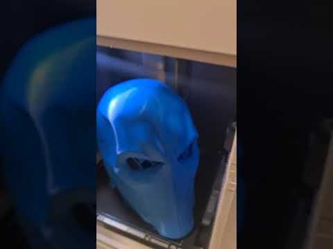 DeathStroke BambuLab X1C #Shorts
#shorts DeathStoke wearable mask made with BambuLab X1C #3dprinting


Advertising